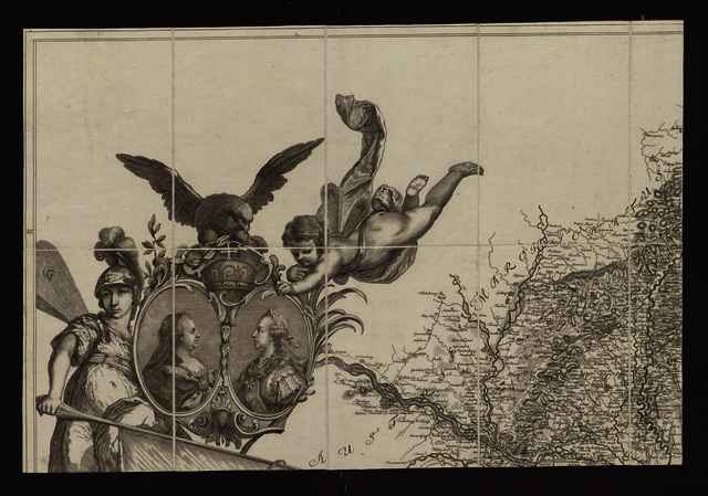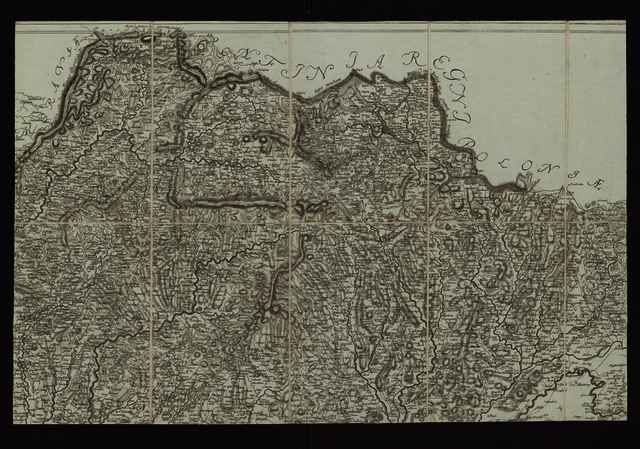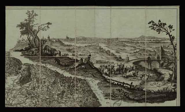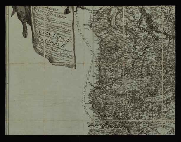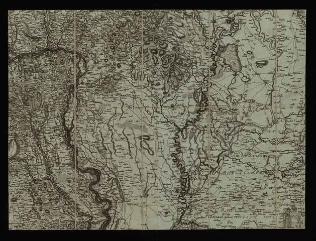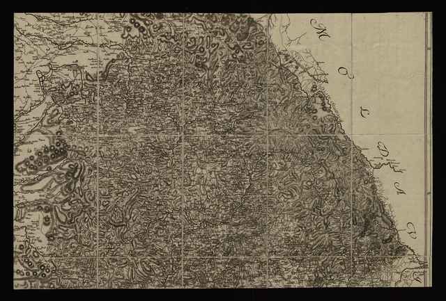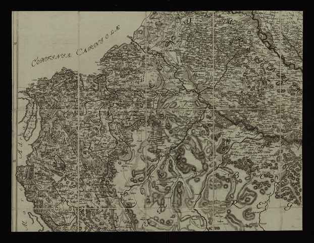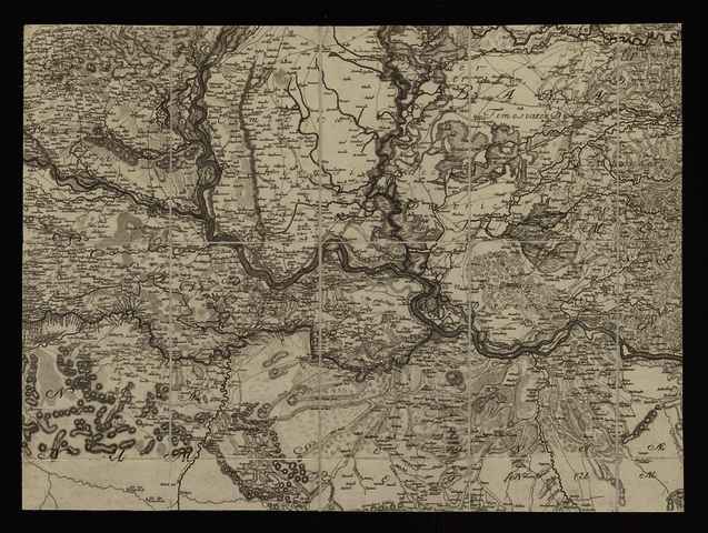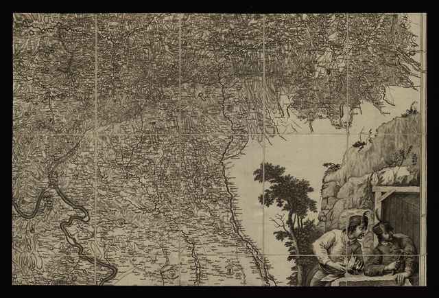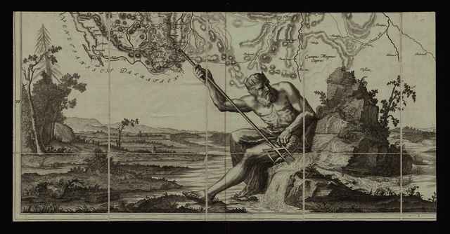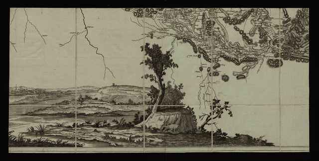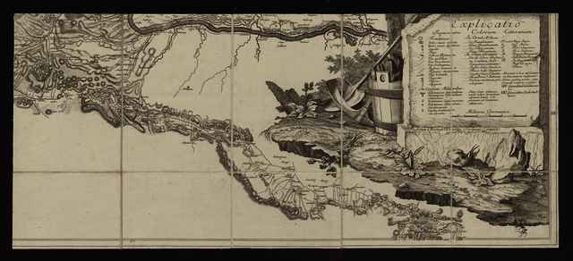


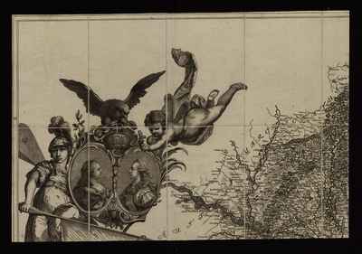
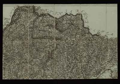
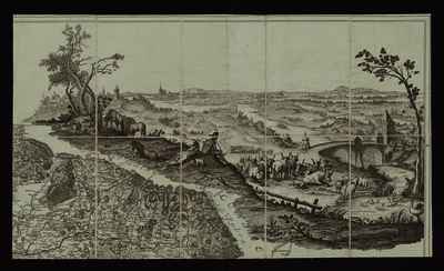
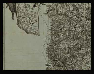
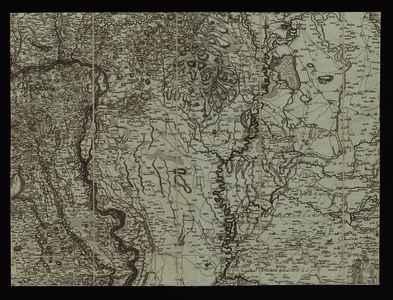
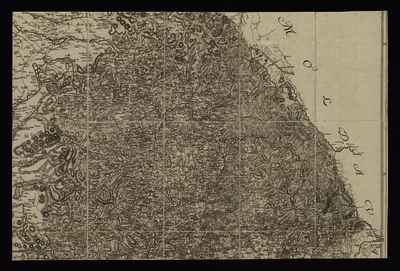
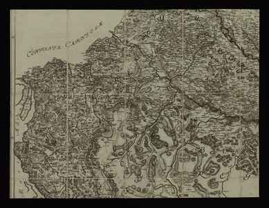
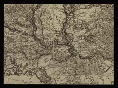
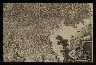
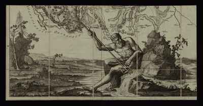
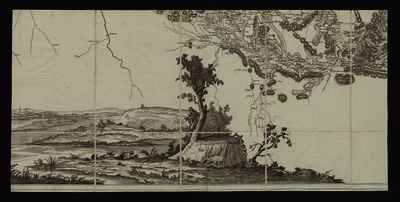
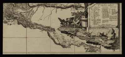
Müller, Ignác (Kartográfus): Mappa Geographica novissima Regni Hungariæ divisi In suos Comitatus cum Districtibus Jazygum et Cumanorum Banatus Temesiensis ejusque Districtuum nec non Regnorum Croatiæ Sclavoniæ Dalmatiæ Magni Principatus Transilvaniæ partis Bosniæ Serviæ Bulgariæ et Walachiæ dedicata Augustissimis Regnantibus Mariæ Theresiæ Imperatrici Reginæ Josepho II. Romanorum Imperatori et Corregenti Promotore Excellentissimo Domino Generali Campi Mareschallo et Consilii Aulæ Bellici Præside Comite Mauritio à Lacy. (1769)
![[img]](https://real-i.mtak.hu/18590/1/Terkep_036_1.jpg)
|
Kép
Terkep_036_1.jpg Letöltés (16MB) | Előzetes bemutató |
|
![[img]](https://real-i.mtak.hu/18590/2/Terkep_036_1_H.jpg)
|
Kép
Terkep_036_1_H.jpg Letöltés (14MB) | Előzetes bemutató |
|
![[img]](https://real-i.mtak.hu/18590/3/Terkep_036_2.jpg)
|
Kép
Terkep_036_2.jpg Letöltés (20MB) | Előzetes bemutató |
|
![[img]](https://real-i.mtak.hu/18590/4/Terkep_036_2_H.jpg)
|
Kép
Terkep_036_2_H.jpg Letöltés (14MB) | Előzetes bemutató |
|
![[img]](https://real-i.mtak.hu/18590/5/Terkep_036_3.jpg)
|
Kép
Terkep_036_3.jpg Letöltés (22MB) | Előzetes bemutató |
|
![[img]](https://real-i.mtak.hu/18590/6/Terkep_036_3_H.jpg)
|
Kép
Terkep_036_3_H.jpg Letöltés (17MB) | Előzetes bemutató |
|
![[img]](https://real-i.mtak.hu/18590/7/Terkep_036_4.jpg)
|
Kép
Terkep_036_4.jpg Letöltés (17MB) | Előzetes bemutató |
|
![[img]](https://real-i.mtak.hu/18590/8/Terkep_036_4_H.jpg)
|
Kép
Terkep_036_4_H.jpg Letöltés (16MB) | Előzetes bemutató |
|
![[img]](https://real-i.mtak.hu/18590/9/Terkep_036_5.jpg)
|
Kép
Terkep_036_5.jpg Letöltés (20MB) | Előzetes bemutató |
|
![[img]](https://real-i.mtak.hu/18590/10/Terkep_036_5_H.jpg)
|
Kép
Terkep_036_5_H.jpg Letöltés (16MB) | Előzetes bemutató |
|
![[img]](https://real-i.mtak.hu/18590/11/Terkep_036_6.jpg)
|
Kép
Terkep_036_6.jpg Letöltés (25MB) | Előzetes bemutató |
|
![[img]](https://real-i.mtak.hu/18590/12/Terkep_036_6_H.jpg)
|
Kép
Terkep_036_6_H.jpg Letöltés (18MB) | Előzetes bemutató |
|
![[img]](https://real-i.mtak.hu/18590/13/Terkep_036_7.jpg)
|
Kép
Terkep_036_7.jpg Letöltés (20MB) | Előzetes bemutató |
|
![[img]](https://real-i.mtak.hu/18590/14/Terkep_036_7_H.jpg)
|
Kép
Terkep_036_7_H.jpg Letöltés (16MB) | Előzetes bemutató |
|
![[img]](https://real-i.mtak.hu/18590/15/Terkep_036_8.jpg)
|
Kép
Terkep_036_8.jpg Letöltés (22MB) | Előzetes bemutató |
|
![[img]](https://real-i.mtak.hu/18590/16/Terkep_036_8_H.jpg)
|
Kép
Terkep_036_8_H.jpg Letöltés (16MB) | Előzetes bemutató |
|
![[img]](https://real-i.mtak.hu/18590/17/Terkep_036_9.jpg)
|
Kép
Terkep_036_9.jpg Letöltés (28MB) | Előzetes bemutató |
|
![[img]](https://real-i.mtak.hu/18590/18/Terkep_036_9_H.jpg)
|
Kép
Terkep_036_9_H.jpg Letöltés (18MB) | Előzetes bemutató |
|
![[img]](https://real-i.mtak.hu/18590/19/Terkep_036_10.jpg)
|
Kép
Terkep_036_10.jpg Letöltés (15MB) | Előzetes bemutató |
|
![[img]](https://real-i.mtak.hu/18590/20/Terkep_036_10_H.jpg)
|
Kép
Terkep_036_10_H.jpg Letöltés (11MB) | Előzetes bemutató |
|
![[img]](https://real-i.mtak.hu/18590/21/Terkep_036_11.jpg)
|
Kép
Terkep_036_11.jpg Letöltés (12MB) | Előzetes bemutató |
|
![[img]](https://real-i.mtak.hu/18590/22/Terkep_036_11_H.jpg)
|
Kép
Terkep_036_11_H.jpg Letöltés (11MB) | Előzetes bemutató |
|
![[img]](https://real-i.mtak.hu/18590/23/Terkep_036_12.jpg)
|
Kép
Terkep_036_12.jpg Letöltés (13MB) | Előzetes bemutató |
|
![[img]](https://real-i.mtak.hu/18590/24/Terkep_036_12_H.jpg)
|
Kép
Terkep_036_12_H.jpg Letöltés (12MB) | Előzetes bemutató |
| Tétel típus: | Térkép | ||||||
|---|---|---|---|---|---|---|---|
| További információk: | OSZK Földabrosz: Csak a földrajzi szélesség adataival, a keretben jelölve Kiadó / terjesztő: s.n. Kiadás helye: Bécs Raktári szám: Térkép 36 | ||||||
| Szabad kulcsszavak: | Szántai Lajos, Magyarország, általános térkép | ||||||
| Szakterület(ek): | G Geography. Anthropology. Recreation / földrajz, antropológia, kikapcsolódás > GA Mathematical geography. Cartography / földméréstan, geodézia, térképészet | ||||||
| Intézmények: | MTA Könyvtár és Információs Központ > MTA KIK Kézirattár és Régi Könyvek Gyűjteménye | ||||||
| Feltöltő: | Bálint Tóth | ||||||
| Alkotók: |
|
||||||
| Elhelyezés dátuma: | 19 Júni 2025 08:31 | ||||||
| Utolsó változtatás: | 12 Dec 2025 10:19 | ||||||
| URI: | https://real-i.mtak.hu/id/eprint/18590 |
Szerkesztés (Bejelentkezés szükséges)
 |
Tétel szekesztése |