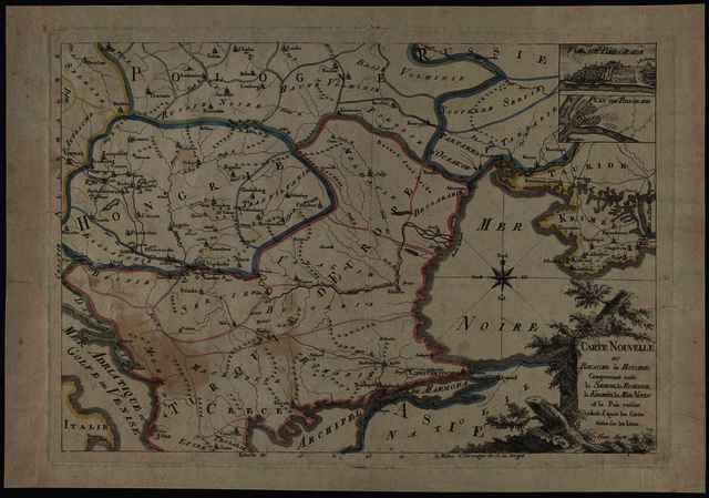


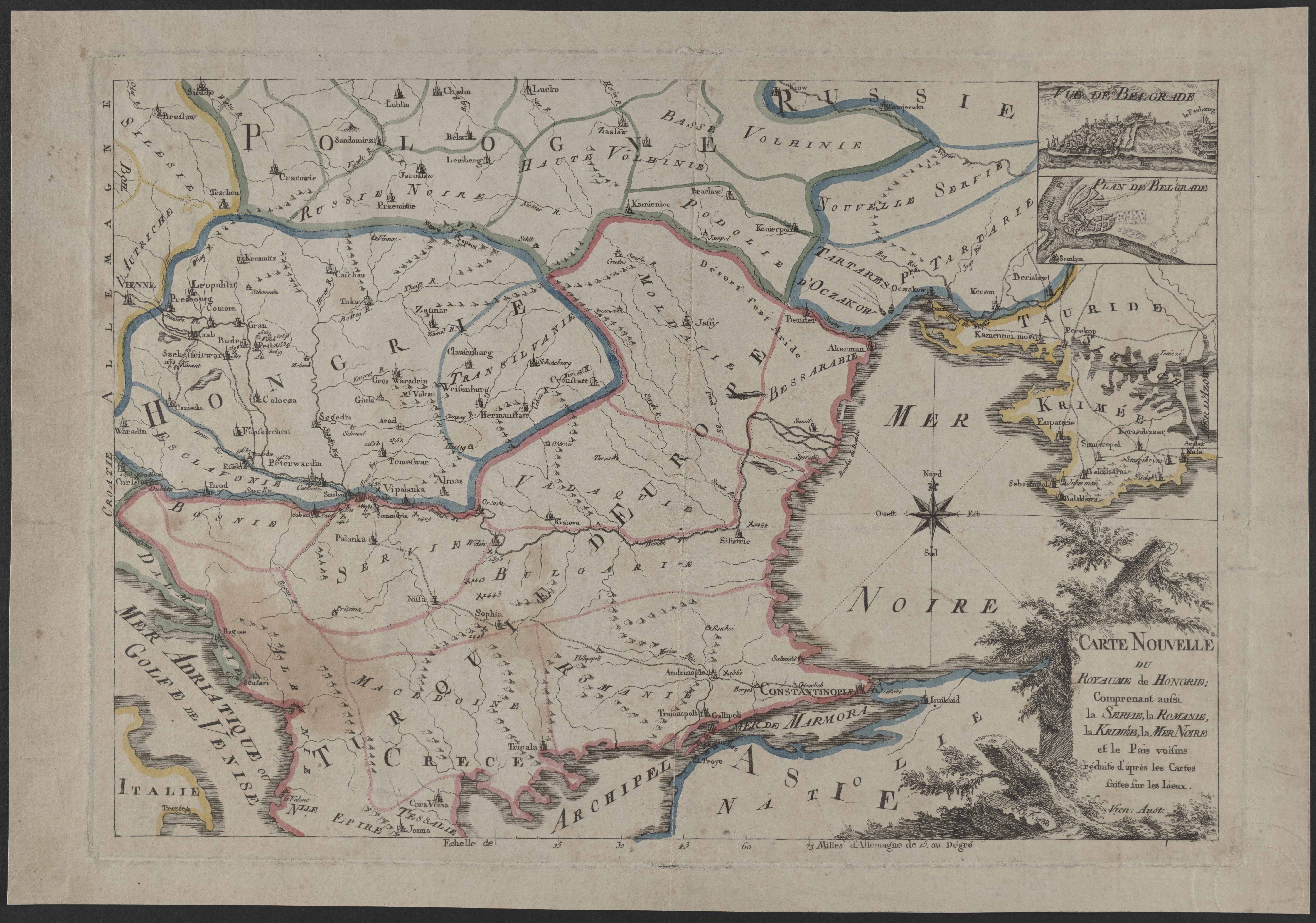
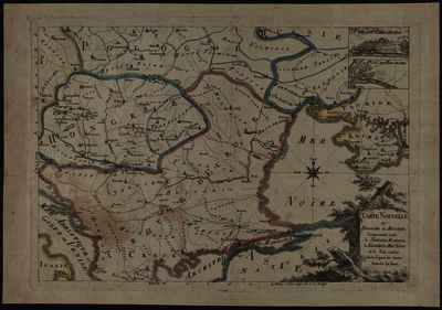
UNSPECIFIED (UNSPECIFIED): Carte nouvelle du Royaume de Hongrie, Comprenant aussi le Servie, la Romanie, la Krimée, la Mer Noire et le Païs voisins réduite d'áprés les Cartes faites sur les Lieux. (1788)
|
Image
Terkep_106.jpg Download (2MB) | Preview |
|
|
Image
Terkep_106_H.jpg Download (1MB) | Preview |
Official URL: https://mta-konyvtar.primo.exlibrisgroup.com/perma...
| Item Type: | Map |
|---|---|
| Additional Information: | OSZK Földabrosz: Fokhálózat nélkül A díszkeret alján valószínűleg metszői felirat: B. F. 1788 Kiadó / terjesztő: s.n. Raktári szám: Térkép 106 |
| Uncontrolled Keywords: | Szántai Lajos, Magyarország, Észak-Balkán, Fekete-tenger vidéke, általános térkép |
| Subjects: | G Geography. Anthropology. Recreation / földrajz, antropológia, kikapcsolódás > GA Mathematical geography. Cartography / földméréstan, geodézia, térképészet |
| Depositing User: | Bálint Tóth |
| Date Deposited: | 23 Jun 2025 09:53 |
| Last Modified: | 12 Dec 2025 10:18 |
| URI: | https://real-i.mtak.hu/id/eprint/18692 |
Actions (login required)
 |
Edit Item |