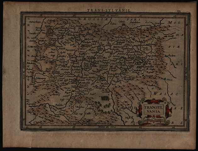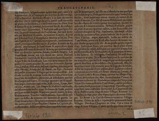


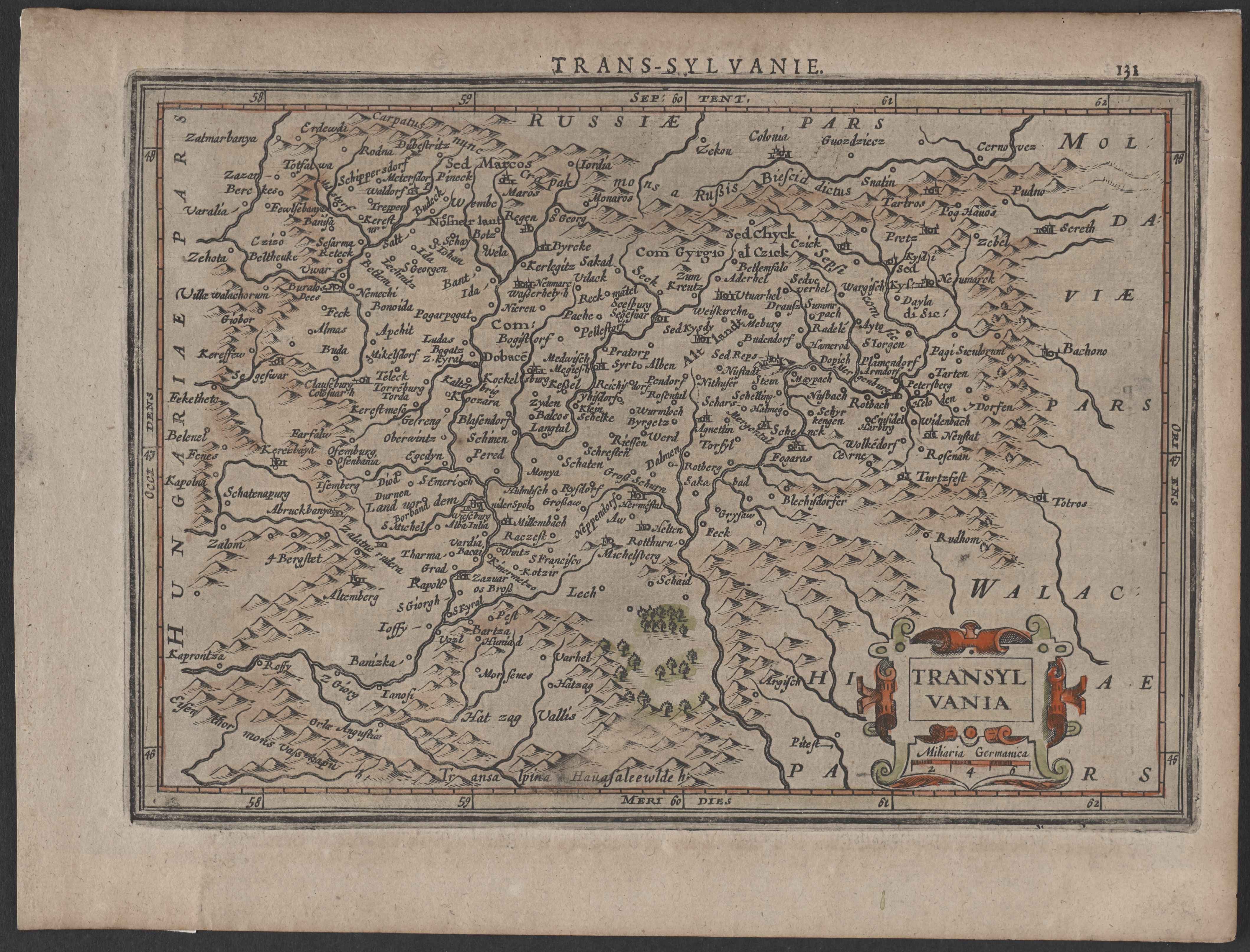
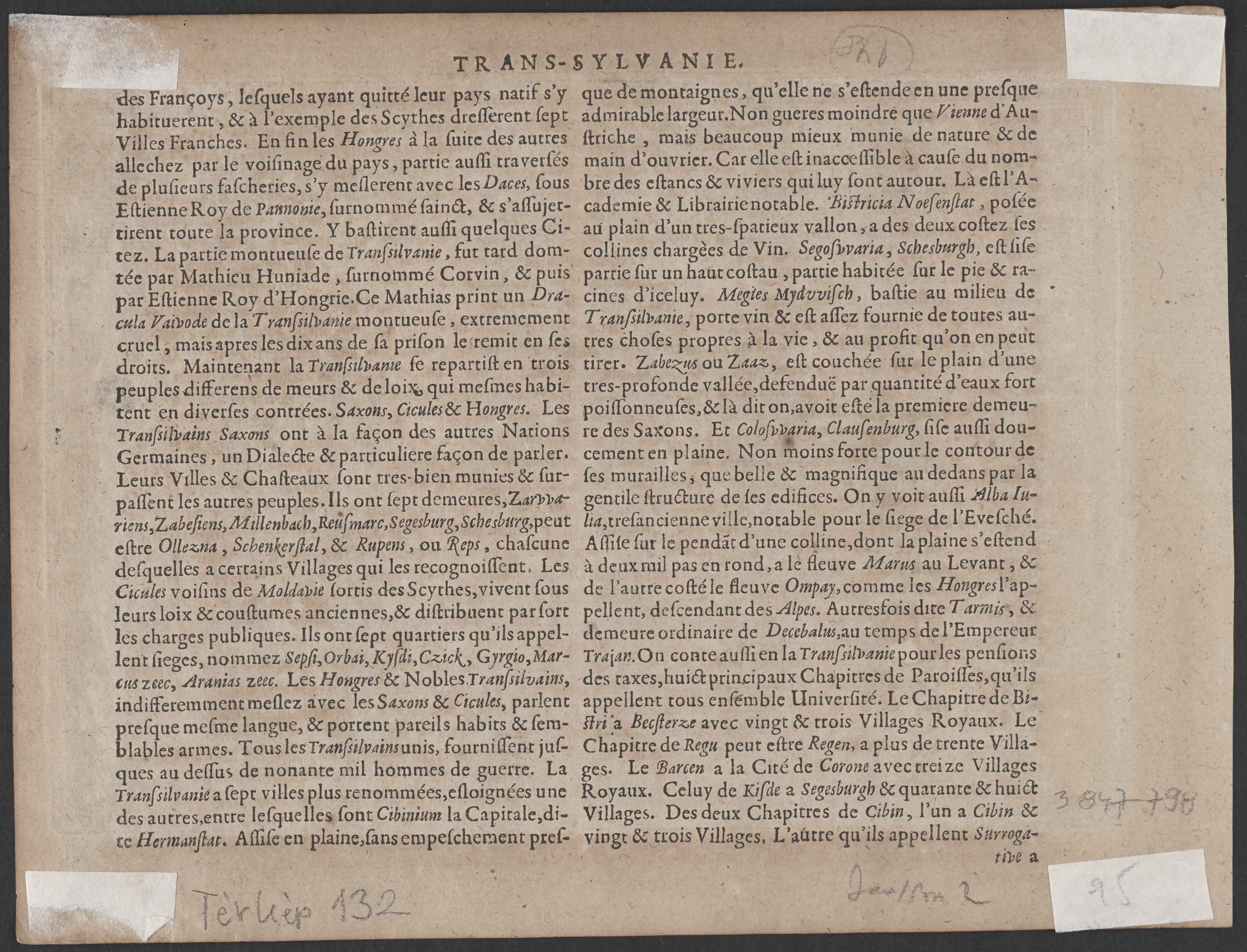
Mercator, Gerardus (Cartographer): Transylvania. (1630)
|
Image
Terkep_132.jpg Download (1MB) | Preview |
|
|
Image
Terkep_132_H.jpg Download (1MB) | Preview |

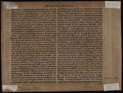
Official URL: https://mta-konyvtar.primo.exlibrisgroup.com/perma...
| Item Type: | Map | ||||||
|---|---|---|---|---|---|---|---|
| Additional Information: | OSZK Földabrosz: A Koeman’s Atlantes Neerlandici, 352. tétel leírása szerint (513. ol.) a J. Janssonius által 1628-tól kiadott Atlas minor c. atlaszok térképeit P. van den Keere és A. Goos metszette (utóbbi csak a világtérképet és a kontinenstérképeket) Kiadó / terjesztő: Chez Iean Iansson Raktári szám: Térkép 132 | ||||||
| Uncontrolled Keywords: | Szántai Lajos, Erdély, általános térkép | ||||||
| Subjects: | G Geography. Anthropology. Recreation / földrajz, antropológia, kikapcsolódás > GA Mathematical geography. Cartography / földméréstan, geodézia, térképészet | ||||||
| Divisions: | Library and Information Centre of the Hungarian Academy of Sciences > Manuscripts & Rare Books' Collection | ||||||
| Depositing User: | Bálint Tóth | ||||||
| Contributors: |
|
||||||
| Date Deposited: | 24 Jun 2025 07:43 | ||||||
| Last Modified: | 12 Dec 2025 10:27 | ||||||
| URI: | https://real-i.mtak.hu/id/eprint/18724 |
Actions (login required)
 |
Edit Item |