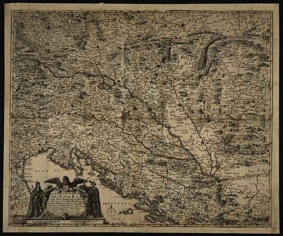


Hollar, Wenceslaus (Egyéb): A New Map of the Kingdom of Hungaria with other Bordering Countries as Bohemia, Transylvania, Morauia, Austria, Saltzburg, Stiria, Carinthia, Sclavonia, Croatia, Dalmatia, Bosnia, Part of Poland, Silesia, Bavaria, State of Venice, Servia, Bulgaria; etc. in diuers places. (1664)
![[img]](https://real-i.mtak.hu/19034/1/Terkep_380.jpg)
|
Kép
Terkep_380.jpg Letöltés (6MB) | Előzetes bemutató |
|
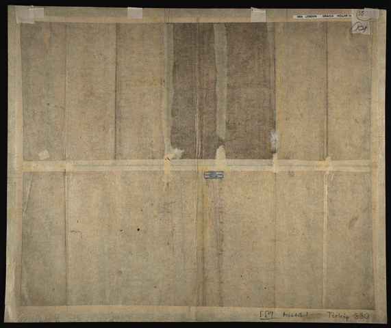
![[img]](https://real-i.mtak.hu/19034/2/Terkep_380_H.jpg)
|
Kép
Terkep_380_H.jpg Letöltés (4MB) | Előzetes bemutató |
| Tétel típus: | Térkép | ||||||
|---|---|---|---|---|---|---|---|
| További információk: | Kiadó / terjesztő: Peter Stent Raktári szám: Térkép 380 | ||||||
| Szabad kulcsszavak: | Szántai Lajos, Magyarország, általános térkép | ||||||
| Szakterület(ek): | G Geography. Anthropology. Recreation / földrajz, antropológia, kikapcsolódás > GA Mathematical geography. Cartography / földméréstan, geodézia, térképészet | ||||||
| Intézmények: | MTA Könyvtár és Információs Központ > MTA KIK Kézirattár és Régi Könyvek Gyűjteménye | ||||||
| Feltöltő: | Bálint Tóth | ||||||
| Alkotók: |
|
||||||
| Elhelyezés dátuma: | 01 Júli 2025 11:06 | ||||||
| Utolsó változtatás: | 12 Dec 2025 10:26 | ||||||
| URI: | https://real-i.mtak.hu/id/eprint/19034 |
Szerkesztés (Bejelentkezés szükséges)
 |
Tétel szekesztése |