de Sainte-Helène, Placide
(Egyéb):
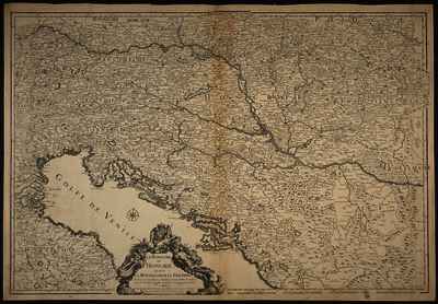
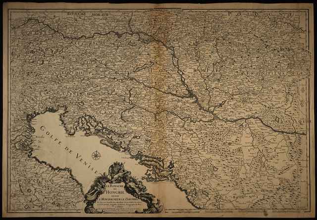
Le Royaume de Hongrie.
(1691)
| Tétel típus: |
Térkép
|
| További információk: |
OSZK Földabrosz:
C. A. Berey a térképi tartalom metszője, N. Guérard a díszes címkeret tervezője és metszője volt
Kiadó / terjesztő: chez la Veüve du S.r Duval
Kiadás helye: Párizs
Raktári szám: Térkép 458 |
| Szabad kulcsszavak: |
Szántai Lajos, Magyarország, Ausztria, Északnyugat-Balkán, általános térkép |
| Szakterület(ek): |
G Geography. Anthropology. Recreation / földrajz, antropológia, kikapcsolódás > GA Mathematical geography. Cartography / földméréstan, geodézia, térképészet |
| Intézmények: |
MTA Könyvtár és Információs Központ > MTA KIK Kézirattár és Régi Könyvek Gyűjteménye |
| Feltöltő: |
Bálint Tóth
|
| Alkotók: |
| Közreműködés típusa | Név | Alkotó azonosító |
|---|
| Egyéb | de Sainte-Helène, Placide | MEGHATÁROZATLAN |
|
| Elhelyezés dátuma: |
03 Júli 2025 09:25 |
| Utolsó változtatás: |
12 Dec 2025 10:24 |
| URI: |
https://real-i.mtak.hu/id/eprint/19114 |
Szerkesztés (Bejelentkezés szükséges)
 |
Tétel szekesztése |



![[img]](https://real-i.mtak.hu/19114/1/Terkep_458.jpg)
![[img]](https://real-i.mtak.hu/19114/2/Terkep_458_H.jpg)