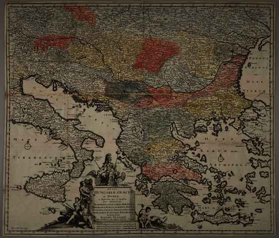


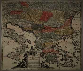
Danckerts, Justus (Cartographer): Regni Hungariae, Graeciae, et Moreae, ac Regionum, quae ei quondam fuere Christiani , ut Transilvaniae, Valachiae, Moldaviae, Bessarabiae, Bosniae, Sclavoniae, Serviae, Bulgariae, Croatiae, Romaniae, Dalmatiae, Morlachiae, ragusanae Reipublicae, Maximaeq partis Danubii Fluminis,. (1688)
|
Image
Terkep_558.jpg Download (7MB) | Preview |
|
|
Image
Terkep_558_H.jpg Download (3MB) | Preview |
Official URL: https://mta-konyvtar.primo.exlibrisgroup.com/perma...
| Item Type: | Map | ||||||
|---|---|---|---|---|---|---|---|
| Additional Information: | OSZK Földabrosz: Készült J. Danckerts azonos című térképe alapján Kiadó / terjesztő: H. van Dunwalt & G. Bouttats Raktári szám: Térkép 558 | ||||||
| Uncontrolled Keywords: | Szántai Lajos, Duna-vidék, Balkán, általános térkép | ||||||
| Subjects: | G Geography. Anthropology. Recreation / földrajz, antropológia, kikapcsolódás > GA Mathematical geography. Cartography / földméréstan, geodézia, térképészet | ||||||
| Divisions: | Library and Information Centre of the Hungarian Academy of Sciences > Manuscripts & Rare Books' Collection | ||||||
| Depositing User: | Bálint Tóth | ||||||
| Contributors: |
|
||||||
| Date Deposited: | 10 Jul 2025 12:51 | ||||||
| Last Modified: | 12 Dec 2025 10:24 | ||||||
| URI: | https://real-i.mtak.hu/id/eprint/19339 |
Actions (login required)
 |
Edit Item |