


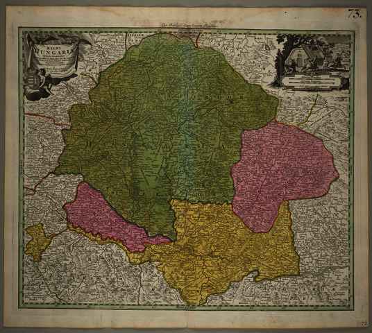
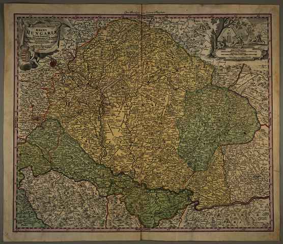
Homann, Johann Baptist (Kartográfus): Regni Hungariae Tabula Generalis ex Archetypo Mülleriano S. C. M. Capit. et Ing. desumta, et in hanc formam contracta Viis Veredariis aucta,. (1730)
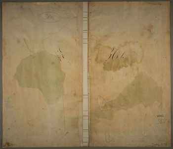
![[img]](https://real-i.mtak.hu/19494/1/Terkep_617.jpg)
|
Kép
Terkep_617.jpg Letöltés (9MB) | Előzetes bemutató |
|
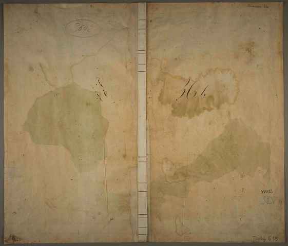
![[img]](https://real-i.mtak.hu/19494/6/Terkep_618.jpg)
|
Kép
Terkep_618.jpg Letöltés (9MB) | Előzetes bemutató |
|
![[img]](https://real-i.mtak.hu/19494/7/Terkep_618_H.jpg)
|
Kép
Terkep_618_H.jpg Letöltés (3MB) | Előzetes bemutató |


| Tétel típus: | Térkép | ||||||
|---|---|---|---|---|---|---|---|
| További információk: | Kiadó / terjesztő: Homännische Erben Kiadás helye: Nürnberg Raktári szám: Térkép 617, Térkép 618 | ||||||
| Szabad kulcsszavak: | Szántai Lajos, Magyarország, általános térkép | ||||||
| Szakterület(ek): | G Geography. Anthropology. Recreation / földrajz, antropológia, kikapcsolódás > GA Mathematical geography. Cartography / földméréstan, geodézia, térképészet | ||||||
| Intézmények: | MTA Könyvtár és Információs Központ > MTA KIK Kézirattár és Régi Könyvek Gyűjteménye | ||||||
| Feltöltő: | Bálint Tóth | ||||||
| Alkotók: |
|
||||||
| Elhelyezés dátuma: | 31 Júli 2025 12:59 | ||||||
| Utolsó változtatás: | 12 Dec 2025 10:22 | ||||||
| URI: | https://real-i.mtak.hu/id/eprint/19494 |
Szerkesztés (Bejelentkezés szükséges)
 |
Tétel szekesztése |
