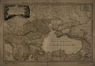
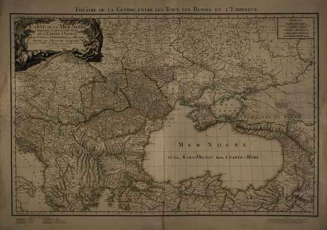
Carte de la Mer Noire Comprenant la plus Grande Partie de l'Empire Otoman, partie des etats de l'Empereur, de la Russie, &ca
Dezauche, Jean-Claude
(Kartográfus):
Carte de la Mer Noire Comprenant la plus Grande Partie de l'Empire Otoman, partie des etats de l'Empereur, de la Russie, &ca.
(1788)
| Tétel típus: |
Térkép
|
| További információk: |
OSZK Földabrosz: Fokhálózat a kereten jelölve, ferrói és párizsi kezdő délkörrel
Kiadó / terjesztő: Chez l'Auteur
Kiadás helye: Párizs
Raktári szám: Térkép 798 |
| Szabad kulcsszavak: |
Szántai Lajos, Fekete-tenger vidéke, Magyarország, Észak-Balkán, általános térkép, hadszíntértérkép |
| Szakterület(ek): |
G Geography. Anthropology. Recreation / földrajz, antropológia, kikapcsolódás > GA Mathematical geography. Cartography / földméréstan, geodézia, térképészet |
| Intézmények: |
MTA Könyvtár és Információs Központ > MTA KIK Kézirattár és Régi Könyvek Gyűjteménye |
| Feltöltő: |
Bálint Tóth
|
| Alkotók: |
| Közreműködés típusa | Név | Alkotó azonosító |
|---|
| Kartográfus | Dezauche, Jean-Claude | MEGHATÁROZATLAN |
|
| Elhelyezés dátuma: |
13 Aug 2025 06:59 |
| Utolsó változtatás: |
29 Aug 2025 10:13 |
| URI: |
https://real-i.mtak.hu/id/eprint/19772 |
Szerkesztés (Bejelentkezés szükséges)
 |
Tétel szekesztése |
|



![[img]](https://real-i.mtak.hu/19772/1/Terkep_798.jpg)