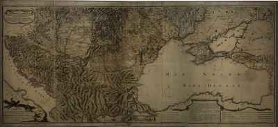
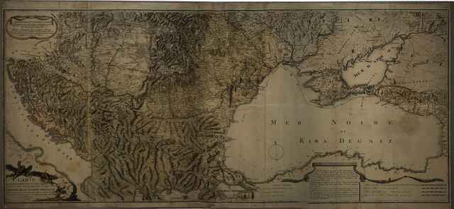
Carte générale des limites entre les trois Empires, et leurs Variations successives dépuis l'année 1718 jusqu'à ce jour ou theatre de la guerre presente
Maire, François Joseph
(Cartographer):
Carte générale des limites entre les trois Empires, et leurs Variations successives dépuis l'année 1718 jusqu'à ce jour ou theatre de la guerre presente.
(1788)
| Item Type: |
Map
|
| Additional Information: |
OSZK Földabrosz: Az 1788-1791. évi osztrák-orosz-török háború színtere, a háború első évében
Kiadó / terjesztő: F. J. Maire ?
Kiadás helye: Bécs
Raktári szám: Térkép 809 |
| Uncontrolled Keywords: |
Szántai Lajos, Magyarország, Délkelet-Európa, Fekete-tenger vidéke, általános térkép, hadszíntértérkép, határváltozási térkép |
| Subjects: |
G Geography. Anthropology. Recreation / földrajz, antropológia, kikapcsolódás > GA Mathematical geography. Cartography / földméréstan, geodézia, térképészet |
| Divisions: |
Library and Information Centre of the Hungarian Academy of Sciences > Manuscripts & Rare Books' Collection |
| Depositing User: |
Bálint Tóth
|
| Contributors: |
| Contribution | Name | Email |
|---|
| Cartographer | Maire, François Joseph | UNSPECIFIED |
|
| Date Deposited: |
13 Aug 2025 11:18 |
| Last Modified: |
29 Aug 2025 09:18 |
| URI: |
https://real-i.mtak.hu/id/eprint/19781 |
Actions (login required)
 |
Edit Item |
|